Before a new road, business, or apartment complex is built, it’s important to evaluate their impact on the surrounding area, the city as a whole, and the region. Typically, this job is done by consulting agencies that – mostly manually – collect and process a great amount of specialized data and compile reports. Such evaluations are costly and can take a long time, depending on the area’s size and the planned project’s complexity. Today, there are many other methods of evaluating such projects; however, for efficient management it is necessary to have a single expandable set of parameters that would make it possible to make decisions with minimal risks. Such a solution can be provided with the help of AI. While there is existing software that deals with specific urban development issues, until recently, there hasn’t been a tool that would tackle these problems all at once.
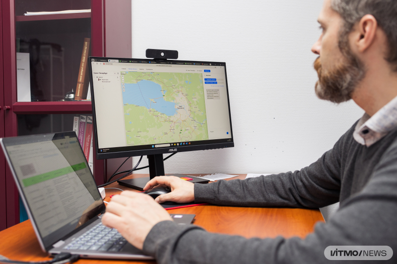
Experts from ITMO’s National Center for Cognitive Research have developed Prosto.R (from the Russian “простор” (“expanse”) and “просто” (“simple”) – Ed.), a digital platform for urban development. With it, it’s possible to manage projects in a single digital environment, thus reducing the time needed for pre-construction evaluation and urban planning from several months to weeks or even days.
The platform evaluates an urban project on three levels: location, municipality or city, and region as a whole. Depending on the level, the system will focus on different tasks: evaluation of the social, engineering, and transport infrastructure and environmental conditions, assessment of the area’s potential for various purposes (housing, recreation, industry, agriculture), as well as modeling of urban development. Based on input data (such as road network, existing development, public service objects, urban underdevelopment), the platform can predict the area’s traffic, satisfaction with social infrastructure, and quality of life, as well as investment appeal.
Prosto.R uses open-source data: spatial data (e.g., OpenStreetMap) and governmental databases (such as registers of rivers by level of pollution or territories with human-made environmental damage), and can also integrate any spatial data provided by property owners or clients. The platform consists of several computational modules (including separate AI models) that are released as open-access software repositories.
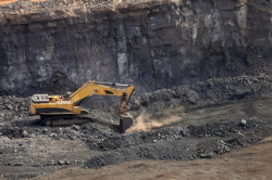
Regional authorities can use the platform to increase the investment appeal of their areas, make smart urban planning decisions, and avoid social and urban risks. For investors and developers, Prosto.R will become a way to evaluate the potential of an area at early investment stages, as well as to confirm its social and economic effects based on objective data in order to get their projects approved by authorities. In particular, the new software will be beneficial for large-scale territories (over 1,000 ha) that have lost their public and economic value: old industrial, abandoned, or otherwise negatively impacted territories.
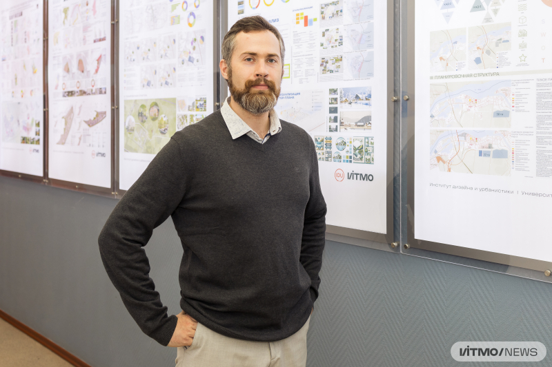
Sergey Mityagin. Photo by Dmitry Grigoryev / ITMO NEWS
“Currently, the project is in the pre-release stage and we are planning to complete it by the end of the year. We already have clients, including the administration of Leningrad Oblast, the Committee on Urban Planning and Architecture of St. Petersburg, Ingmar ASB architectural studio, Labgrad urban planning laboratory, Etalon group, and A101. At the moment, our platform is used to evaluate the development prospects of the village Novosaratovka and the town of Svetogorsk in Leningrad Oblast,” shares Sergey Mityagin, the head of the project and head of ITMO’s Institute of Design and Urban Studies.