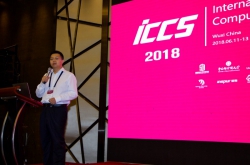
Please tell us about the conference.
The CUPUM Conference is dedicated to the use of computer technologies in urban planning. The conference was established in Hong Kong some thirty years ago, in 1989, when people just started to recognize the power of information technologies. Now it is held every two years. The 2019 one took place in the Chinese town of Wuhan.
How can information technologies be used in urban planning?
There are many ways one can use IT in the field of urban studies. For one, to analyze problems associated with living in a big city, such as air pollution, heat release, poor quality of water, etc. To solve all these problems, people came up with a range of various algorithms, or the so-called planning support systems. These systems are designed to help urban specialists make important decisions. With the use of these technologies, real estate developers can achieve a better understanding of where to build housing complexes in regard to transport and amenity infrastructure, while public authorities can find it easier to make plans for the future development of the city.
Another important aspect has to do with big data. Data provided by mobile networks operators and Google Street View images can help solve various transportation problems, from forecasting traffic jams to making the city streets more pedestrian-friendly.
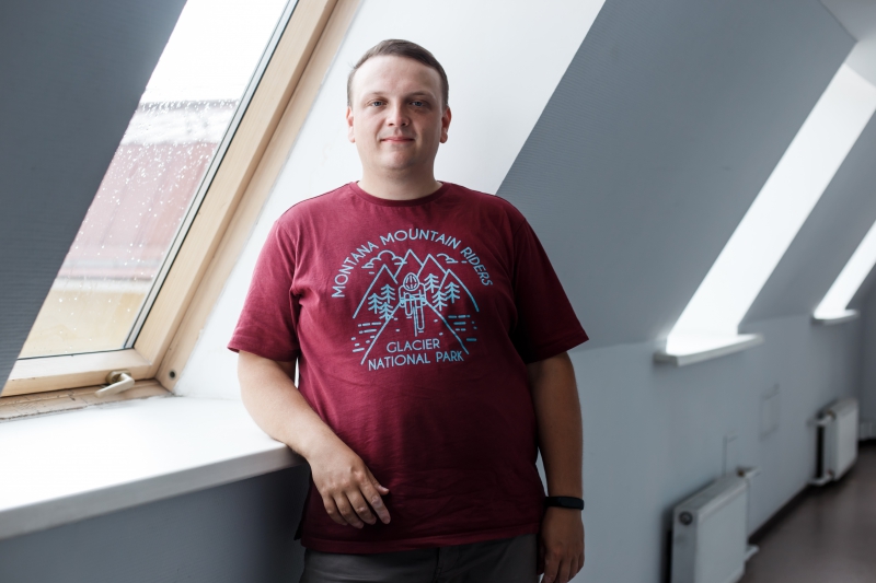
What field do you work in?
I focus on pedestrian modeling. In my presentation at CUPUM, I talked about how to forecast the places where people are more likely to jaywalk and, based on this information, decide where crosswalks should be located. It’s a very topical question in China. A typical street in Wuhan looks like this: 12 traffic lanes, three rows of fences, and only one overground crosswalk. In spite of cars racing by, people continue putting their lives at risk jaywalking.
All the technological solutions discussed at CUPUM can be used in real life, and there is no better place to start bringing these ideas to life than China. The country is now growing and developing very rapidly. Just 15 years ago, there were some ten metro stations in Wuhan. Now there are 200, and it’s not even a capital. To put this into perspective, there have been built only 50 new stations in Moscow over the last 15 years.
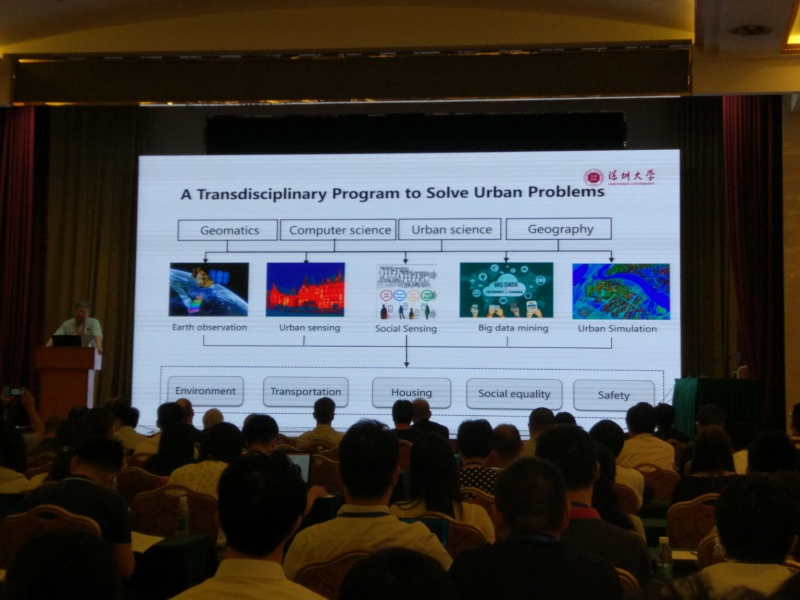
What do you think about the fact that urban studies are gaining popularity in Russia?
On the one hand, it’s great that bloggers have started talking about residential areas and parks. It ensures that people are aware of the existing problems. On the other hand, bloggers rarely dig deep into the problems; their task is to attract as many people as possible, and that’s it. Such an approach causes misunderstanding of what urban planning is really about. People start thinking that it’s all limited to avoiding cars and riding bicycles, but it’s not that simple. Urban studies is a complex science, and one needs to read a lot of specialized literature to become an expert in it.
What projects are you currently working on at the Institute of Design & Urban Studies?
We mainly work on tasks related to autonomous planning. For example, we develop algorithms aimed to help real estate developers find the best location for their projects. We’re now also working on an app for building interesting pedestrian routes. For example, you come to St. Petersburg from a different city and you want to explore the area in the vicinity of your hotel but you don’t know where to go. Our algorithm works like an online map, but the routes it offers are not the shortest ones but the most interesting ones with the biggest number of attractions on the way.
