Of the many ways to get to the starting point of your chosen eco-path, the suburban train is the most common and accessible, followed by the bus; however, some remote paths will require you to cover another kilometer or two by foot. In such cases, the best-suited method of transport is by car – you can use a rental/car sharing service, or, better yet, come along with a car-owner friend.
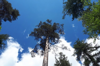
So what is an eco-path, actually? An eco-path is a pre-planned route, usually plotted through a nature park or reserve, that usually weaves between various points of interest, such as rare plants, breathtaking vistas, serene lakes, or animal dens. What sets them apart from any other trailway is the fact that they are constantly maintained by forest wardens or volunteers.
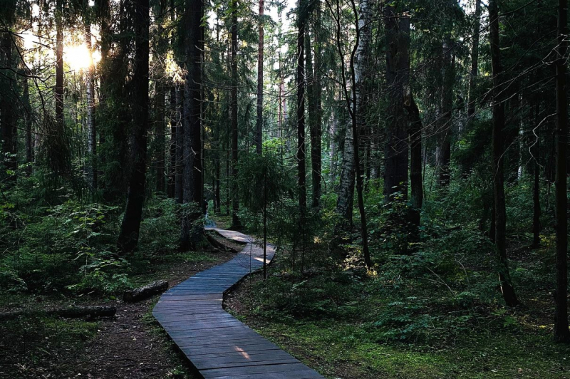
You’ll also find trail markers, plaques denoting the names of various bits of flora, and poster boards that list interesting facts and provide maps of the nearby areas. In short, they are a godsend to inexperienced hikers who are (reasonably) wary of wandering into the forest on their own. Owing to the swampy nature of our region, the paths will often take the form of raised wooden walkways on which you can walk without the risk of sinking knee-deep into what seems like perfectly firm ground.
View of the Gulf of Finland in Sestroretsk. Credit: Nick Night (@nicknight) via Unsplash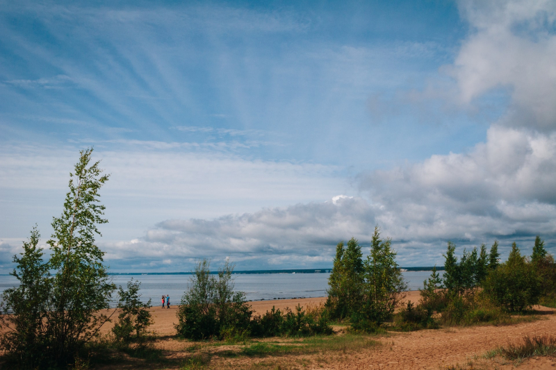
Essential apps
Oh, how lucky we are to live in the age of the smartphone! While once such a journey would have required you to bring a stack of maps and guidebooks, today your phone can be a more than suitable substitute. Just remember to charge your phone and maybe even bring a powerpack, too. Even in such easily-navigable areas, it’s good to know you have a connection to the outside world.
Key apps to consider:
- Maps
While we’ll try to list a few ways of getting to the essential routes below, the sheer variety of options (and the changes related to the ongoing public transport reform) means it’s always better to explore every possibility. This is where Yandex.Maps (App Store; Google Play), with its extensive route planning tools, is going to be your friend when deciding which bus to take and which train to hop on.
Once you’re out of the city and among the nature, however, you’ll need a different kind of map; hiking apps such as OsmAnd (App Store; Google Play), Gaia GPS (App Store; Google Play), and Outdooractive (ex-ViewRanger) (App Store; Google Play) all feature much more detailed maps, with details such as ground elevation, terrain types, and minor navigational markers (such as boulders or campsites). Just as importantly, they will function perfectly well even if you have little or no mobile connection.
For more info on how to read topographic maps, go here.
- Translator apps
A big part of the appeal of eco-paths is getting to learn all about the local flora and fauna. Unfortunately, the informational plaques are only available in Russian most of the time. That’s why it can be a very good idea to download an app such as Yandex Translate (App Store; Google Play), Google Translate (App Store; Google Play), or Microsoft Translator (App Store; Google Play). Just point your camera at the infoboard and receive a translation! Besides, these apps can come in handy when chatting to fellow travelers.
Choose your path
An eco-path in Komarovo. Credit: Mary Ray (@mary_ray) via Unsplash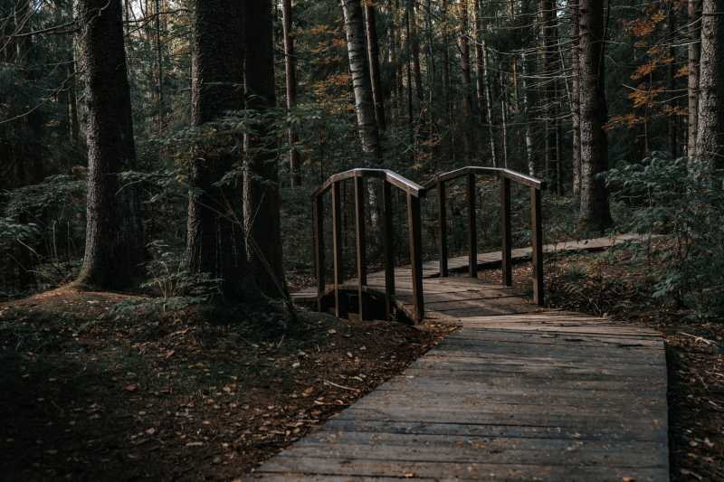
Despite being a relatively recent concept, eco-paths have proven surprisingly popular among the locals and tourists in St. Petersburg, the Leningrad Oblast, and the nearby Republic of Karelia.
The official list of protected natural areas of the Leningrad Oblast currently counts 30 (!) eco-paths of various length, difficulty, and remoteness. You can run the website linked above through a translator plug-in to access detailed descriptions of each eco-path’s type (there are cycling paths, too), location, and points of interest. Each page also describes how to get there and which times of the year are best suited for a trip.
Here, however, are some of the most popular and easily-accessible eco-paths if you’re just starting to get into the idea:
Sestroretsk Wetlands
Sestroretsk Wetlands. Credit: Nikolay Avakyan (@nik009) via Unsplash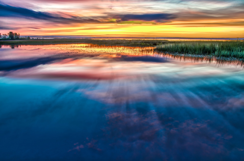
This is a particularly leisurely route: not far from the city, relatively short, and partly consisting of a well-made wooden walkway that spans above the rich wetlands.
Sestroretsk Wetlands on AllTrails
Komarovsky Coast
A great eco-path for beginners situated right in the resort town of Komarovo and not too far from a railroad station and two major roadways. Come for fresh air, views of the Gulf of Finland, and… giant anthills! The abundance of cafes and restaurants nearby means you don’t even have to pack lunch.
Duderhof Heights
A UNESCO World Heritage Site, this highland has been a popular destination since the early 19th century! The hilly landscape means you should be ready to tackle plenty of stairs, and uphill paths, but the views make it absolutely worth it.
Lindulovskaya Grove
In the Lindulovskaya Grove. Credit: Vasilina Sirotina (@epicbat) via Unsplash
Extremely popular in the wintertime due to its fairytale looks (you’re quite likely to have already seen it on your Russian friends’ social media feeds this January), the grove is just as beautiful in the warmer months, too.
Lindulovskaya Grove on AllTrails
West Kotlin
The lovely island of Kronstadt, in addition to being a must-visit for lovers of all things naval, is also home to a curious nature reserve that’s as interesting for its nature as it is for its history. This is because its territory covers Fort Schantz – an 18th century military fort that has stood abandoned for nearly a century.
Gatchina Eco-Path
What makes this trail special is that it’s entirely grassroots-driven! Several years ago, volunteers from the town of Gatchina agreed to establish and maintain an eco-path that takes you through a forest, a swamp, and a meadow to the shores of four different rivers. Perhaps you’ll even spot some of the local inhabitants such as beavers, minks, and otters!
Official website and VK page of the Gatchina Eco-Path
Lake Berestovoye
Lake Berestovoye. Credit: Ilya Klichuk (Илья Кличук) (@conditus) via Unsplash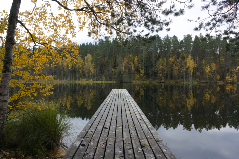
Here’s a spot that may be already quite familiar to ITMO students and staff – why, this is none other than the lake that houses our outdoor sports and leisure camp Yagodnoe! The path lets you explore a part of the Vyaramyanselkya Ridge – an impressive landscape shaped by ancient glaciers during the Ice Age.
Lake Berestovoye on AllTrails / Alternate route for cyclists