Window into Europe
Some 300 years ago, history was made when the Neva delta became home to the new Russian capital. But why here, of all places – on swampy land, up north, and far from most of the country? The answer lay in Peter the Great’s aspirations of a new Russia: enlightened, European-facing, and – most notably for today’s topic – seafaring.
St. Petersburg’s location on the easternmost point of the Gulf of Finland ensured easier, year-round access to key marine routes, as well as the opportunity to build a strong naval fleet for a nation that hadn’t really had one before. And so began the city’s long and integral relationship with water.
Read also:
Mighty Neva – friend or foe?
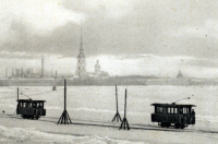
However, this proximity to the sea was both a blessing and a source of calamity. In its 300+ years of history, St. Petersburg has experienced an approximately similar number of floods small and large, including several that were highly devastating. Even today, plaques on the facades of historical buildings display the water levels recorded on notable occasions. The worst flooding, during which the river rose by a whopping 421 centimeters, was immortalized by Alexander Pushkin in his The Bronze Horseman.
Read also:
The issue would persist well into the late 20th century, when work had finally begun on a massive dam across the Gulf of Finland. Construction was completed in 2011, and the dam is now a part of the city’s Ring Road – you might be familiar with it if you’ve ever taken a bus or taxi to Kronstadt.
On the grid
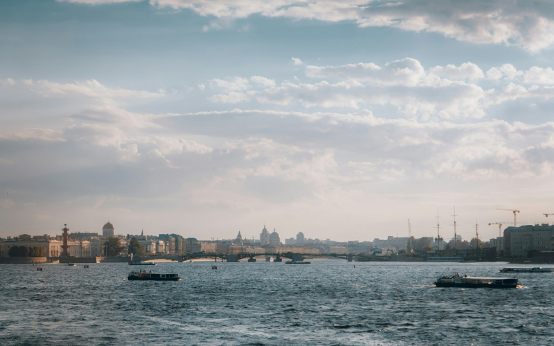
Befitting its nickname “Venice of the North,” St. Petersburg is criss-crossed by a network of rivers and canals. Though there are quite a few of them today, there used to be many more. The “streets” of Vasilyevsky Island were, for instance, originally designed as a grid of canals. Soon after digging began, however, the idea was deemed impractical. Today, this is preserved in the unique names of its streets, or liniyas (from Russian линия – “line”).
Fresh ground
But creating land out of water isn’t just a practice left to the past; even today, new parts of the city are being reclaimed with the help of modern engineering. One such example is the Marine Facade, or simply Namyv, a neighborhood that simply didn’t exist a mere 20 years ago. Read all about it in our article.
Read also:
Learning opportunity
Today, the best way to learn about St. Petersburg’s history as a city on water is at the Universe of Water Museum, housed in and around a historic water tower on Shpalernaya St. 56, on site of the city’s former main water supply station. Here, visitors can learn all about the city’s rivers and canals, sewage and water supply systems, and modern conservation efforts.
***
St. Petersburg is the home of ITMO University: a leading Russian university with globally competitive programs in IT, AI, physics, engineering, infochemistry, biotech, and more.
Title image credit: Evgeniy Prokofiev (@pr0gi_) via Unsplash